
A $260,000 upgrade to the autonomous underwater vehicle (AUV) UBC-Gavia has opened up a host of potential research and commercial work for the Australian Maritime College, including the ability to remotely survey underwater pipelines.
The research platform now has an inertial navigation system (INS) that was custom-made by manufacturer Teledyne Gavia and commissioned at their Iceland headquarters in May.
The INS uses a computer, motion sensors, and rotation sensors to continuously calculate the position, orientation, and velocity of the AUV without the need for external references.
Ocean engineering lecturer and UBC-Gavia expert, Dr Alex Forrest, said there was a key point of difference with this new piece equipment. Unlike traditional INS modules, which use the estimate of the speed over the seafloor as additional input, this operating system can look both down at the seafloor or up to track the surface.
“We wanted the ability to look down or up, so that if we’re operating under ice we can track the ice surface rather than tracking the sea floor, and that capability hadn’t been developed before,” he said.
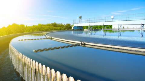
Dr Forrest and research team members Rowan Frost, Remo Cossu, and Chris Coppard recently deployed the UBC-Gavia for its first test run of the INS, surveying 5km of gas pipeline off the north coast of Tasmania at Five Mile Bluff.
The test deployment was commissioned by Tasmanian Gas Pipeline (TGP) in order to survey the spanning that was occurring underneath the pipeline.
“Spanning refers to the gap between the pipeline and the seafloor – as that gap widens due to sand movement it allows water to pump underneath and cause more scouring,” Dr Forrest said.
“There are international standards for how much scour or how much clearance is allowed to prevent pipeline failure. This work with the TGP is focused on spans in the nearshore, or shallow water less than 15 metres deep, because that’s a critical zone that’s difficult to survey using traditional methods such as remote-operated vehicles or divers.”
To conduct the survey, the UBC-Gavia was run parallel to the pipeline to use its sidescan sonar to acoustically image the side of the pipe and any corresponding spans.
“In the data you’ll see a shadow beside the pipe, and if the pipe is lifted you’ll see a little gap of light in between. From that gap of light you can estimate the gap between the pipeline and the seafloor,” Dr Forrest said.
“The AUV travels along one side of the pipe and then back down the other, verifying all of our touchdown points and span lengths along the way.”
And the results from the pilot test run are extremely promising with the new INS significantly reducing positional error from 5-10 per cent to 0.1-0.5 per cent, providing a much more accurate picture of the physical processes taking place.
The team will now conduct a second test run on a 7km stretch of pipeline located off Deal Island, north-west of Flinders Island, and it is hoped that these test runs will lead to an ongoing collaboration with TGP.
“We’re aiming to do good quality research that fits in with industrial interests but also fits in with our academic interests,” Dr Forrest said.
Find Related Companies In The Pump Industry Capability Guide

-
Well construction complete for stored CO2 project
Researchers at CO2CRC’s Otway Research Facility, at Nirranda South in Victoria, are one step closer to understanding the behaviour...
-
Tender: swimming pool water heater replacement
Moreton Bay Regional Council (QLD) is seeking tenders for the replacement of two pool water heating units and all...
-
Mt Morgan dewatering a complex process
Dewatering is underway as part of the water management plan at the Mount Morgan mine, near Rockhampton. The mine...
-
Eraring closure delay proposal receives backlash
A joint statement by a number of energy advisory organisations has condemned the proposed delay of the closure of...
-
Expansion of Tasmanian Hydro system
Prime Minister Malcolm Turnbull has announced the expansion of the Tasmanian Hydro System to provide affordable, reliable electricity as...
-
Early ticket release: WA Mining 2022
The ultimate event for mining and engineering professionals is back; the WA Mining Conference and Exhibition has opened early...
-
Valve upgrades to improve Waikerie water network
A series of upgrades to SA Water’s drinking water network in Waikerie have begun, including the implementation of specialised...
-
QLD Gov delivers $46M for new water treatment plant
The Queensland Government will provide the Burdekin Shire Council with $46.88 million in funding to help support the development...